
Ground Truth (2017)
Photo Installation (Grid of eighty digital inkjet prints, 44” x 180” digital photo collage)
Visual Arts BA Thesis Exhibition, Logan Center Gallery, 3.31.17 – 4.23.17
Ground-Truthing (n.) The process by which the geographic coordinates of a given location are calibrated with the actual place on earth which they represent.
The Inner Wall — The wall within the gallery consists of eighty digital prints of imagery culled from Insecam, a website that aggregates unsecured, wifi-enabled security camera feeds. These cameras are not “hacked” in the conventional sense; the owners of these cameras have simply not changed their cameras’ passwords from the manufacturer’s default settings. Each webcam feed includes a set of geographic coordinates; Insecam claims these coordinates “are very approximative and have accuracy in hundreds of miles,” which brings us to...

Inner Wall (installation view)
Photo courtesy of Nabiha Khan
The Outer Wall — The wall facing the lobby of the Logan Center is comprised of a 44” by 180” digital collage comprised of satellite imagery from the US Geological Survey’s Earth Explorer portal. Each satellite image that was incorporated into this collage was found by searching for the coordinates of a particular camera feed from Insecam, regardless of any discrepancies between the landscapes depicted in the feeds and the satellite images. All of the individual images in the collage are real places in the United States, and are primarily (though not exclusively) urban and suburban areas in states that use the Public Land Survey System.
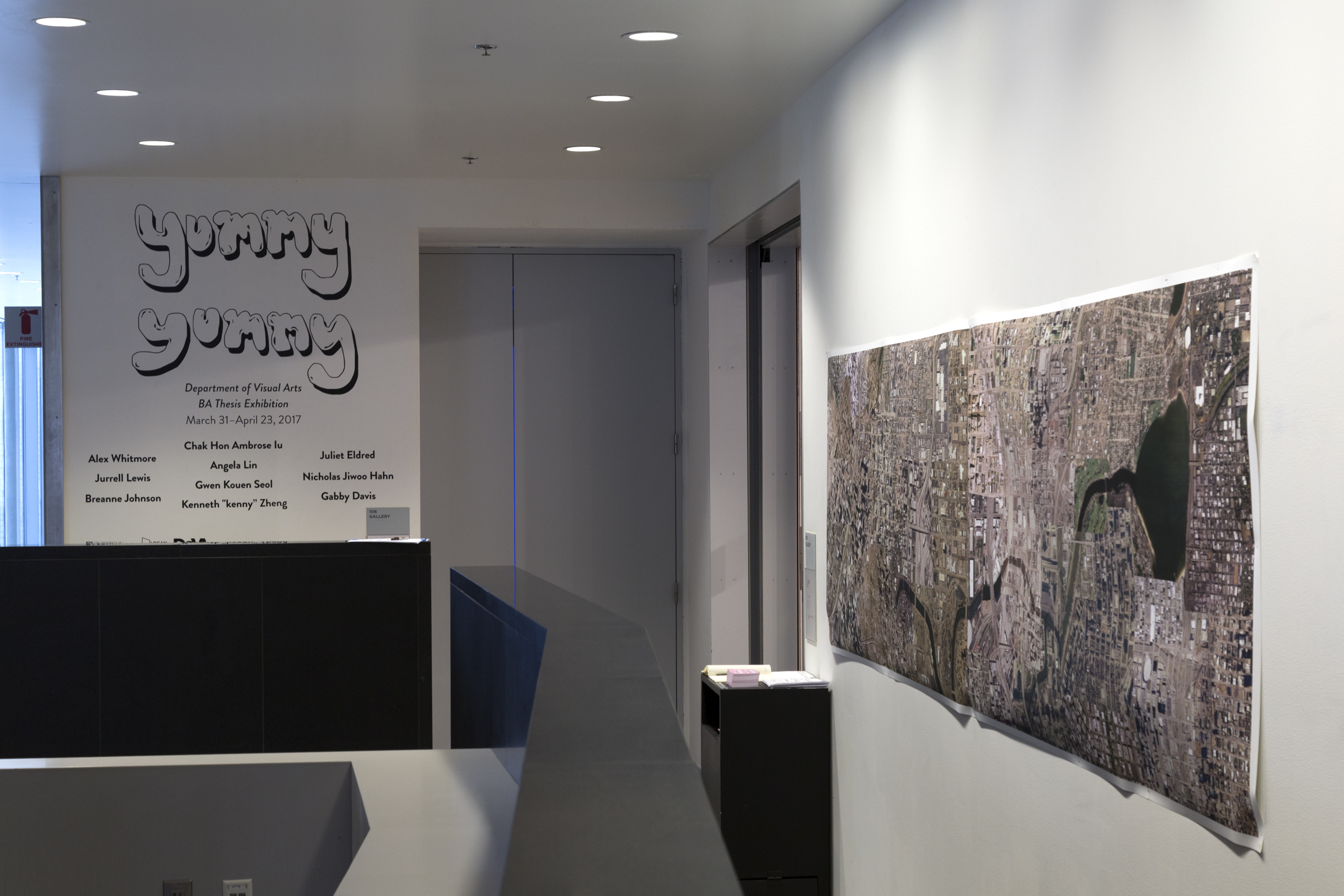
Outer Wall (installation view)
Photo courtesy of Nabiha Khan
Ground Truth seeks to bring these two different modes of security (surveillance cameras and satellite imagery, the latter of which is historically linked to US military and reconnaissance operations) into dialogue with one another, to problematize the “objectivity” of photographic representations of geographic space, and to highlight the often boring and banal realities of surveillance practices.